 In fact, if you draw back and look at the area from further 'away' you can clearly see how cultivation in the southern part of the Eyre peninsula gives way to scrubland as you go north...
 The image on the left was taken close to the B100 route which Mark cycled today and gives an impression of the aridity of the landscape. (I have just read the web diary and it is interesting that Mark also noted the transition from farmed land to arid scrubland as he cycled north.
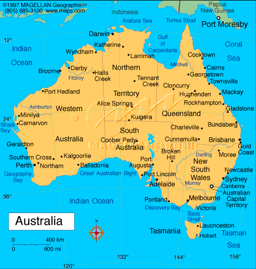
I think the explanation is as follows. Firstly you need to see the Eyre peninsula in the context of South Australia.....

 The southern part of the Eyre peninsula enjoys a classic 'Mediterranean climate' of hot, dry summers and warm/mild wet winters. Latitudinally it is at about 35 degrees south which is a latitude similar to the south of Spain. The variation in rainfall is due to shifting pressure and wind belts which occur due to the seasonal movement of the overhead sun. In summer , this part of Australia receives winds from the south east which have largely come across land and are therefore dry. In winter winds blow from the north west and have picked up enough moisture over the Great Australian Bight to bring small amounts of rainfall to the southern part of the Eyre peninsula. As you go north, however, those same winds originate over land. In addition, there is some higher ground in the north of the peninsula meaning that the eastern side lies in a 'rainshadow'.
 Here is another lovely image of the area just to the south of Whyalla where it would appear that Mark finished the day......
There is a lot to say about Whyalla but that can wait for another day!


No comments:
Post a Comment